Driving through the KwaZulu-Natal Midlands often reminds me of the green rolling hills back home in Yorkshire, particularly on those damp mornings when a thick, woolly mist sits low across the paddocks. Setting out toward the 95-metre cascade requires a clear understanding of regional transport links and local driving quirks. Whether you need precise Howick Falls directions for a quick day trip from the coast or comprehensive Howick falls south africa directions for a long cross-country drive, reaching our famous waterfall is straightforward once you join the main provincial arteries. Before hitting the tarmac, checking our main Howick Falls hub provides a proper overview of what awaits at the edge of the gorge.

Geographic Orientation and Highway Access
Howick sits in the heart of the KwaZulu-Natal interior, perched right on the edge of the uMngeni River gorge. The town is situated alongside the N3 national highway, which serves as the principal freight and commuter artery connecting Durban on the Indian Ocean coast to Johannesburg in the highveld interior. This convenient position gives every visiter a proper taste of country life without forcing you miles off the tarmac. If you plan on exploring the town on foot or heading down to the water, take a moment to read through our visitor rules and safety advice before leaving your vehicle.
Driving from Durban and King Shaka International Airport
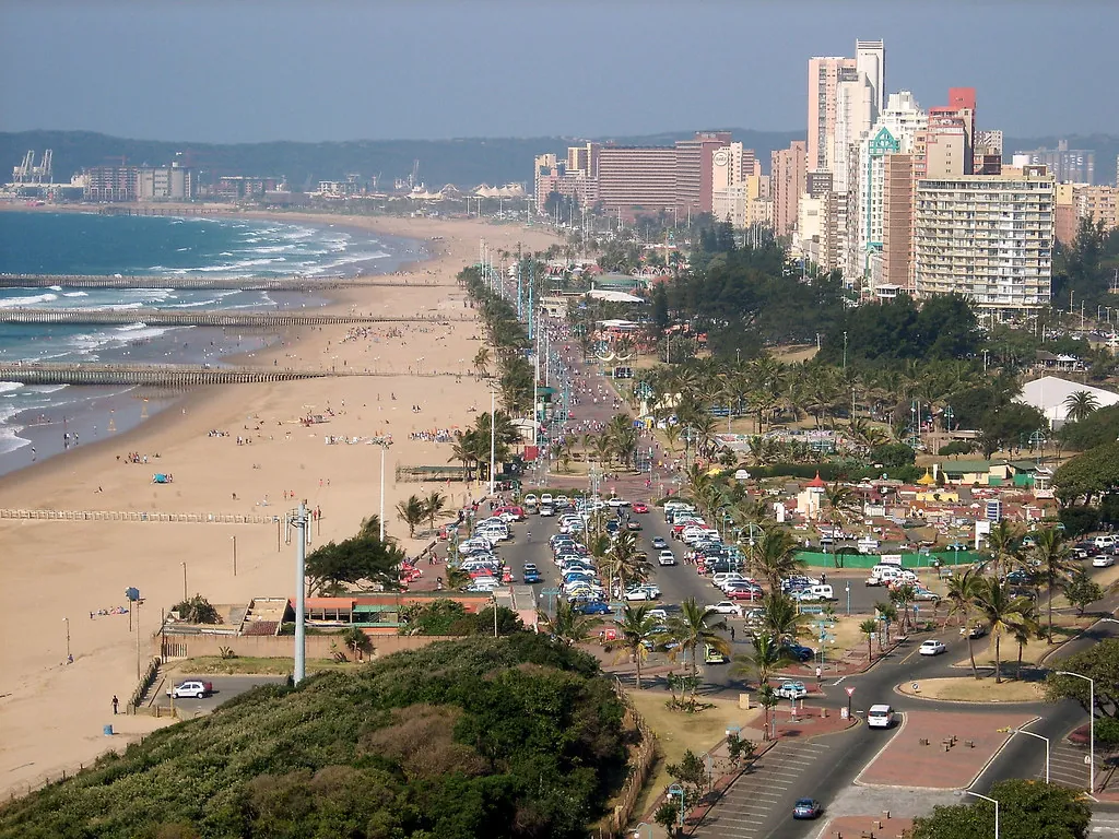
Self-driving from coastal Durban is the most popular route for weekend travellers and international holidaymakers alike. The journey covers approximately 90 kilometres heading northwest up the N3 highway, taking roughly one hour to an hour and fifteen minutes under normal traffic conditions. You will pass through the outer suburbs of Pinetown and Kloof, steadily climbing away from the humid coast toward Pietermaritzburg before reaching the cooler elevations of the Midlands. Be aware that this leg includes active toll plazas monitored by SANRAL, including the Mariannhill plaza, where standard credit cards and cash are accepted.
If you fly directly into King Shaka International Airport (DUR) north of Durban, your route covers about 125 kilometres and takes between 1 hour 30 minutes and 1 hour 45 minutes. From the airport terminal, pick up your vehicle from any major car rental desk and merge onto the N2 south toward Durban before taking the exit onto the N3 west toward Pietermaritzburg and Howick. Standard two-wheel-drive hatchbacks and sedans are completely fine for this drive, as the national highways are fully paved and wide. Those who prefer not to handle local highway traffic can arrange guided transfers such as the Drakensberg Mountains, Howick Falls & Mandela Capture Day Tour directly from Durban hotel receptions.
Long-Distance Road Trip from Johannesburg
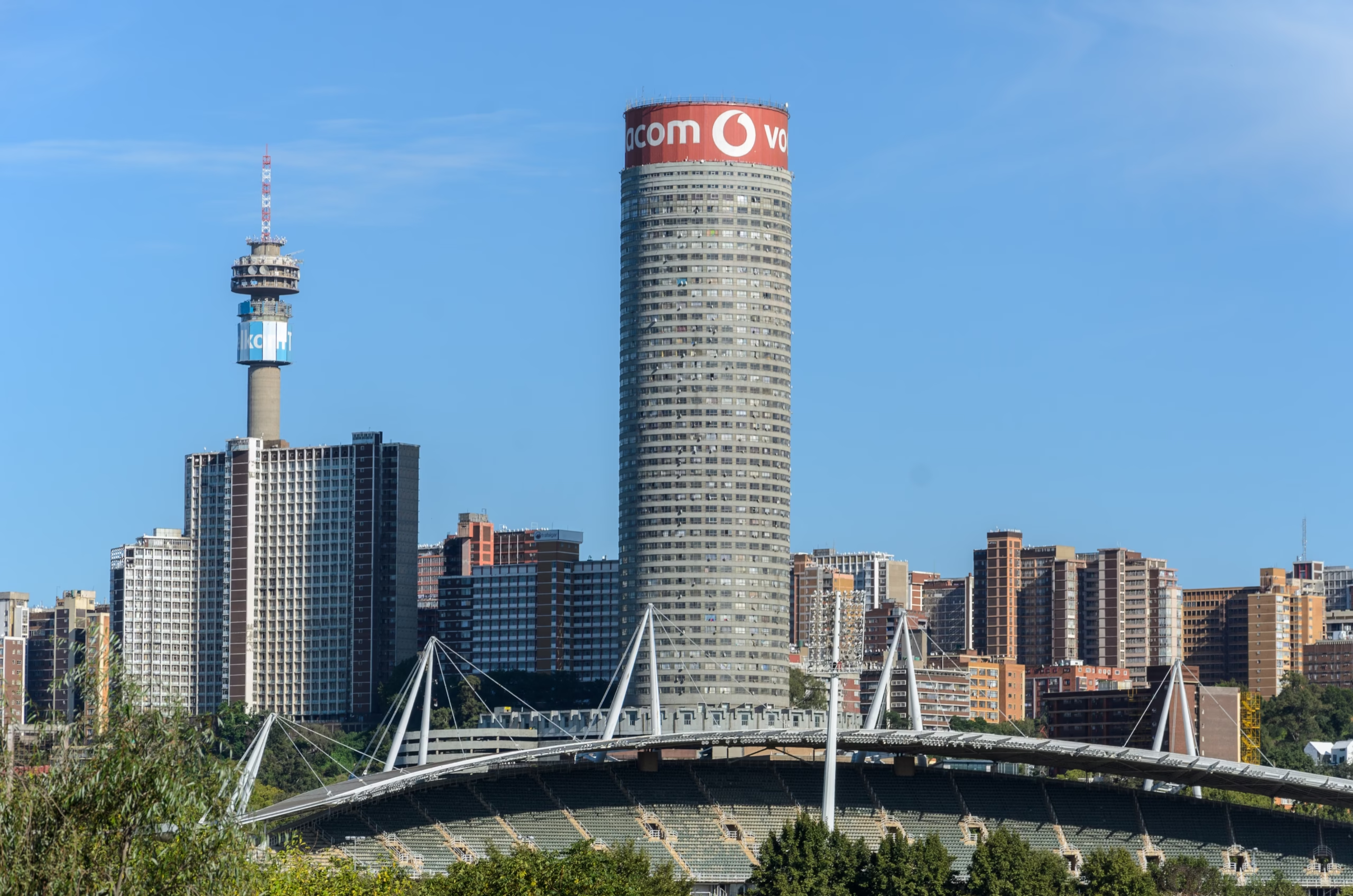
Travelling down from Gauteng involves a proper South African road trip along the N3 south, spanning roughly 430 kilometres. The drive typically takes between 4.5 and 5 hours, leading you through agricultural heartlands past Heidelberg, Harrismith, and across the scenic Drakensberg escarpment via Van Reenen’s Pass. The mountain views near the provincial border are quite magnificent, though heavy freight trucks often slow the right lane on steep ascents.
Toll plazas along the route from Johannesburg include Wilge, Tugela, and Mooi River. Having local currency or a valid debit/credit card ready in your door pocket keeps the queues moving quickly. Many road-trippers like to break up the drive by stopping at farm stalls along the route, a tradition supported by the official Midlands Meander Association, which highlights artisan cheese shops, potteries, and bakeries just minutes off the main turns depending on which direction you are coming from.
Regional Airports, Durban Harbour, and Bus Transit
For air travellers looking for a shorter ground commute, Pietermaritzburg Airport (PMZ) is the nearest domestic terminal, situated just 25 kilometres south of Howick. A drive up the N3 from Pietermaritzburg takes a brief 20 minutes, making it a very convenient option for business travellers or domestic tourists coming from Johannesburg’s O.R. Tambo Airport. Cruise ship passengers docking at Durban Harbour can also easily reach the waterfall via shore excursions or private rental cars arranged at the harbour terminal, as the port sits right at the start of the N3 corridor.
Public transport options on South African long-distance routes consist primarily of scheduled coach lines. Operators like Intercape run frequent intercity services along the Durban to Johannesburg route, dropping passengers off in central Pietermaritzburg or at designated highway stops near Howick. From Pietermaritzburg, registered local taxis or private rideshare drivers can take you directly to Falls Drive. For structured local excursions across the area, explore our guide to booking tickets and tours to organize day trips in advance.
Route Map and Transit Summary
| Departure Point | Distance | Average Travel Time | Primary Highway Route | Toll Plazas En Route |
|---|---|---|---|---|
| Durban Central | 90 km | 1 hr 10 min | N3 Northbound | Mariannhill |
| King Shaka Airport (DUR) | 125 km | 1 hr 35 min | N2 South to N3 North | Mariannhill |
| Pietermaritzburg Airport (PMZ) | 25 km | 20 min | N3 Northbound | None |
| Johannesburg (Gauteng) | 430 km | 4 hr 45 min | N3 Southbound | Wilge, Tugela, Mooi River |
Parking Facilities and Navigating Howick Town
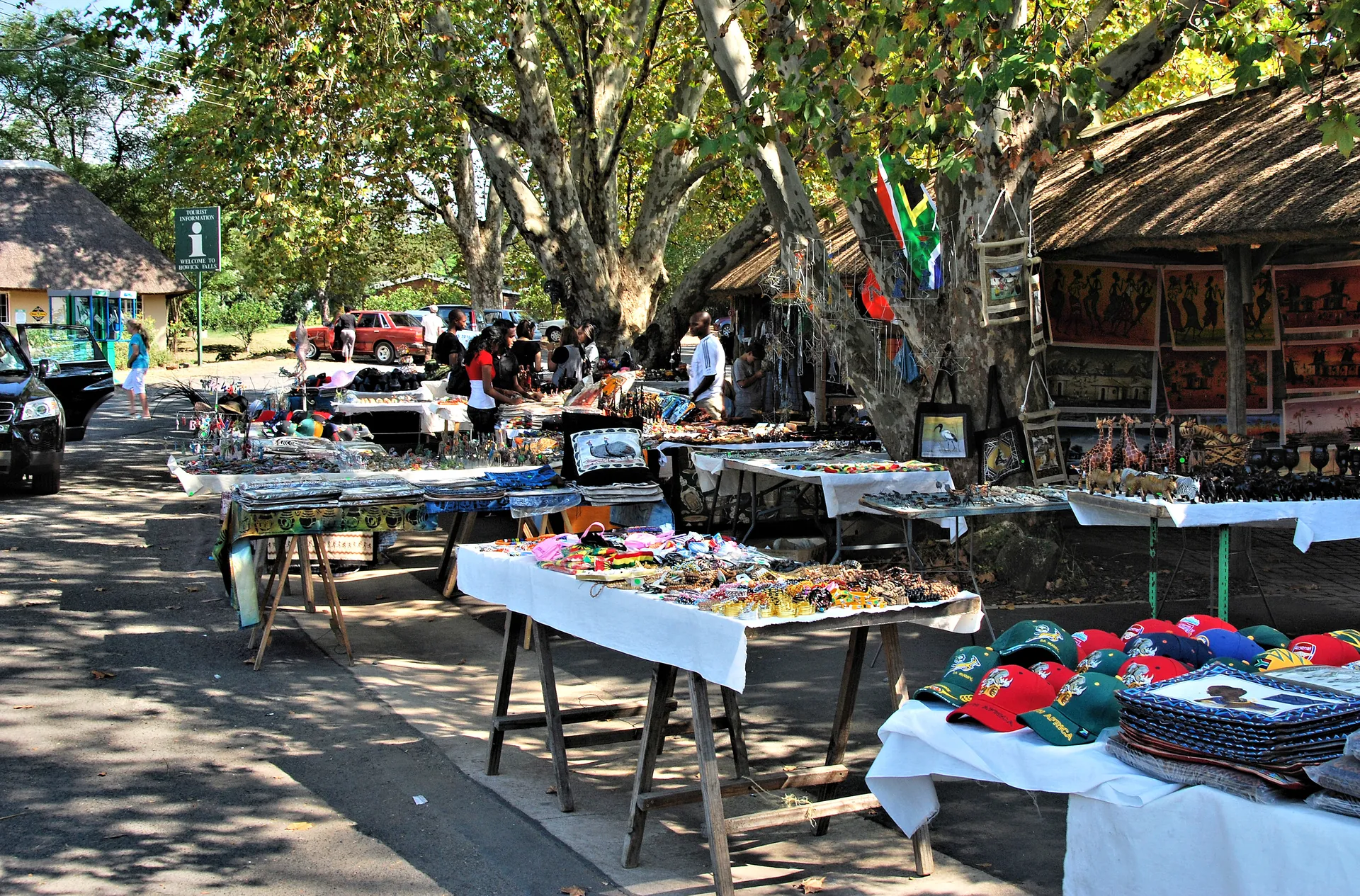
Once you exit the N3 at the Howick/Midhowick off-ramp (Exit 99 if coming from the south, Exit 107 if coming from the north), clear brown tourism signs guide you along Main Street into the historic core of the town. Turn onto Harvard Street and follow it straight down to where it terminates at Falls Drive. Teh local municipal square has a large, paved public parking area situated directly opposite the main viewing platform and local craft market.
Local Expat Tip: Parking at the main viewing precinct is free of charge, but you will see informal car guards in high-visibility vests working the lot. Tipping 10 to 20 ZAR upon your return is standard practice and greatly appreciated by local families.
The paved viewing deck is completely flat and sits right beside the parking bays, making it accessible for wheelchair users and families with prams. If you intend to trek down to the riverbed rather than staying on the platform, review our safety breakdown on waterfall hazards and precautions before attempting the descent.
For active visitors, the trailhead for the famous descent into the canyon begins at the bottom of Harvard Street near the old moral precinct. You can read our step-by-step walk-through in the Howick Falls Gorge Walk guide to plan your footwear and time requirements properly. The gorge is steeped in deep cultural folklore, including ancient tales of the giant water serpent that traditional healers believe inhabits the plunge pool, detailed further in our piece on the legend of the Inkanyamba.
Weather Advisories and Road Conditions
Driving conditions through KwaZulu-Natal can shift remarkably fast, especially during the summer rainfall months from November through March. Heavy afternoon thunderstorms frequently roll across the Midlands, dropping large volumes of rain in a short period and creating sudden slick patches on the N3. When driving down Town Hill into Pietermaritzburg or sweeping past Mooi River, slow down and maintain a generous following distance.
The region is equally famous for its thick, atmospheric mist, known locally as the Midlands fog. This damp blanket can reduce visibility on the highway to just a few metres within minutes. Keep your headlights switched on low beam rather than high beam, which reflects off the fog droplets and blinds oncoming traffic. Once you arrive safely in town, you can reward yourself with a hot cup of tea or explore local cafes; check out our recommendations for things to do around Howick or book a broader KZN Midlands Meander Artisan Journey to experience our local food and craft scene at a relaxed pace.
Local Departures and the Return Leg: Durban Station, Kloof, and Pinetown
If your journey begins at Durban Station rather than the central beachfront, you’re still perfectly placed. Head west along the M4 or M13 to pick up the N3 at Pinetown—allow about 20 minutes to reach the highway, then settle in for the same scenic climb. The total run from Durban Station to Howick is roughly 95 kilometres, or 1 hour 15 minutes outside of peak traffic. For those in the western suburbs, Pinetown and Kloof are even more convenient: from Pinetown you’re looking at about 75 kilometres and an hour, while Kloof trims it to roughly 65 kilometres and 50 minutes. It’s a lovely, quick escape from the coast, and you’ll notice the air cool and the mist gather as you rise into the Midlands.
The return trip from Howick to Durban is simply the same route in reverse. Join the N3 southbound, pass through the Mariannhill toll plaza, and enjoy the long descent down Town Hill into Pietermaritzburg. If you’re catching a flight from King Shaka International, give yourself an extra 20 minutes on top of the usual 1 hour 45 minutes, and do check the Midlands fog forecast before you leave—it can turn a straightforward drive into a slow, atmospheric crawl. And if you’re using Howick as a staging post for the Drakensberg, you’re in good company. The central Berg is about 200 kilometres and 2.5 to 3 hours from Durban, so many travellers break the journey here to stretch their legs at the falls. From Howick, it’s another 90 minutes or so to Cathedral Peak, making our village a proper halfway house between the ocean and the mountains.